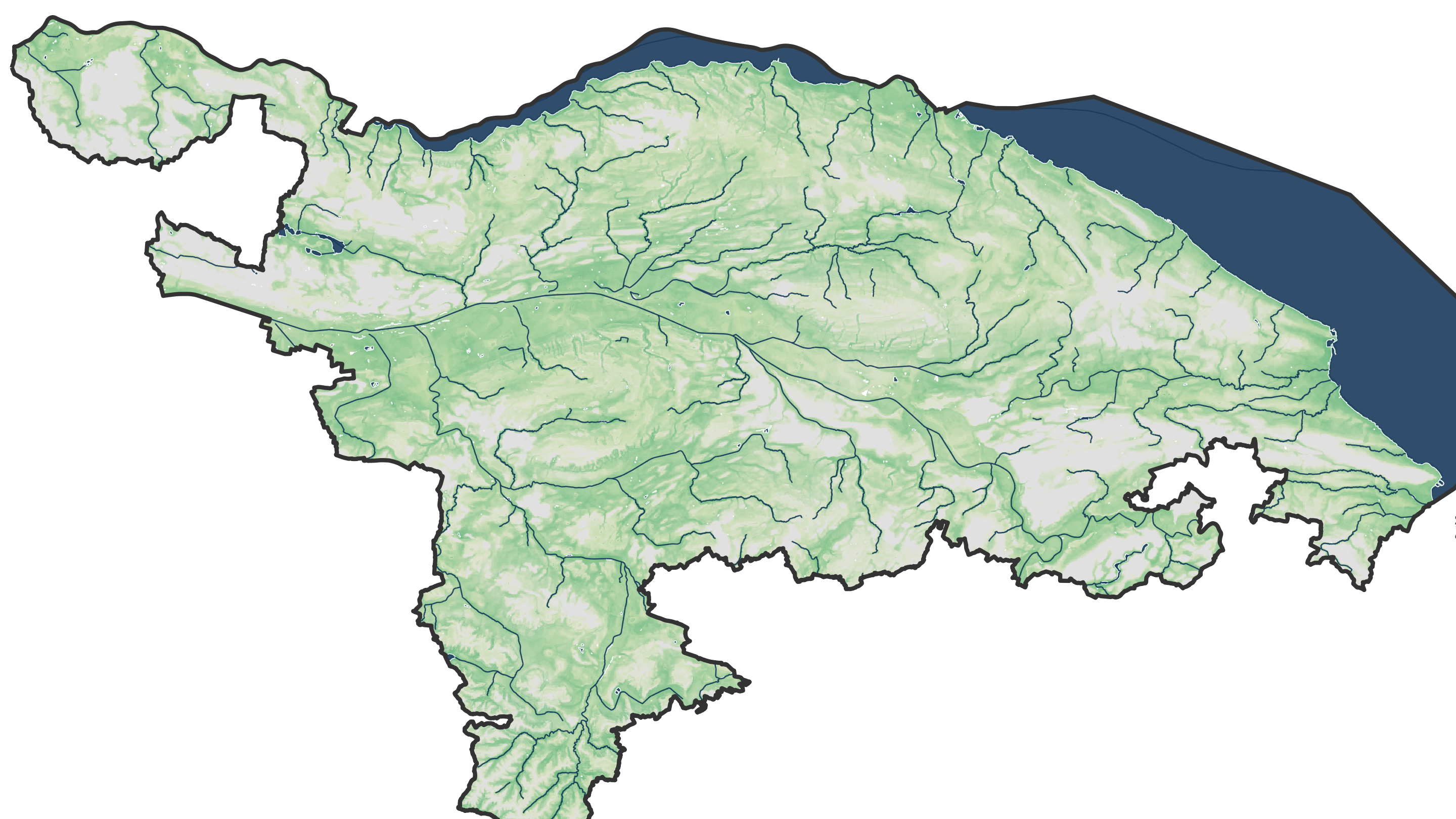
Winter is just over, spring is showing its best side, but one thing is certain: summer is coming! As summer approaches we have updated our ZH-Fiebermesser app. We're now ready to measure city fever based on land surface temperature (LST) derived from thermal satellite imagery. Thermal remote sensing detects naturally emitted radiation in the infrared portion of the spectrum. Two years ago we have set up the ZH-Fiebermesser app to examine the distribution of summer surface temperatures in the Kanton of Zurich and track changes over time. Now we have made the following updates to the app:
- Starting from 2022, Landsat 9 imagery substitutes Landsat 7 satellite, which is reaching the end of its life.
- All Collection 1 Landsat images have been replaced by Landsat Collection 2 products.
- Data from summers 2021 and 2022 are now included to calculate the multi-year (1999-2022) trend in LST.
2022 was a very hot summer, so the multi-year trend of LST slightly increased. At the location of our office here in Zurich the app shows a LST increase of 3.4°C over the last 24 years. Without the above updates, the equivalent increase over the same period of time would be 3.3°C.
Use the app now to check how LST changed at your place in the Kanton of Zurich! By the way, ZH-Fiebermesser is our first mobile-friendly GEE app. We hope to develop more such apps in the future - for measuring LST trends in other places or for remote monitoring of other variables relevant for city planing, agriculture, or water ressource management.


