Hydrosolutions has carried out an 8-day Training Workshop on Reservoir Bathymetry and Water Accounting in Irrigated Systems using Google Earth Engine in Roorkee, India (April 24 - May 2, 2023). The goal of the workshop was to train administrators and users of the recently developed ee-India-Reservoirs application.
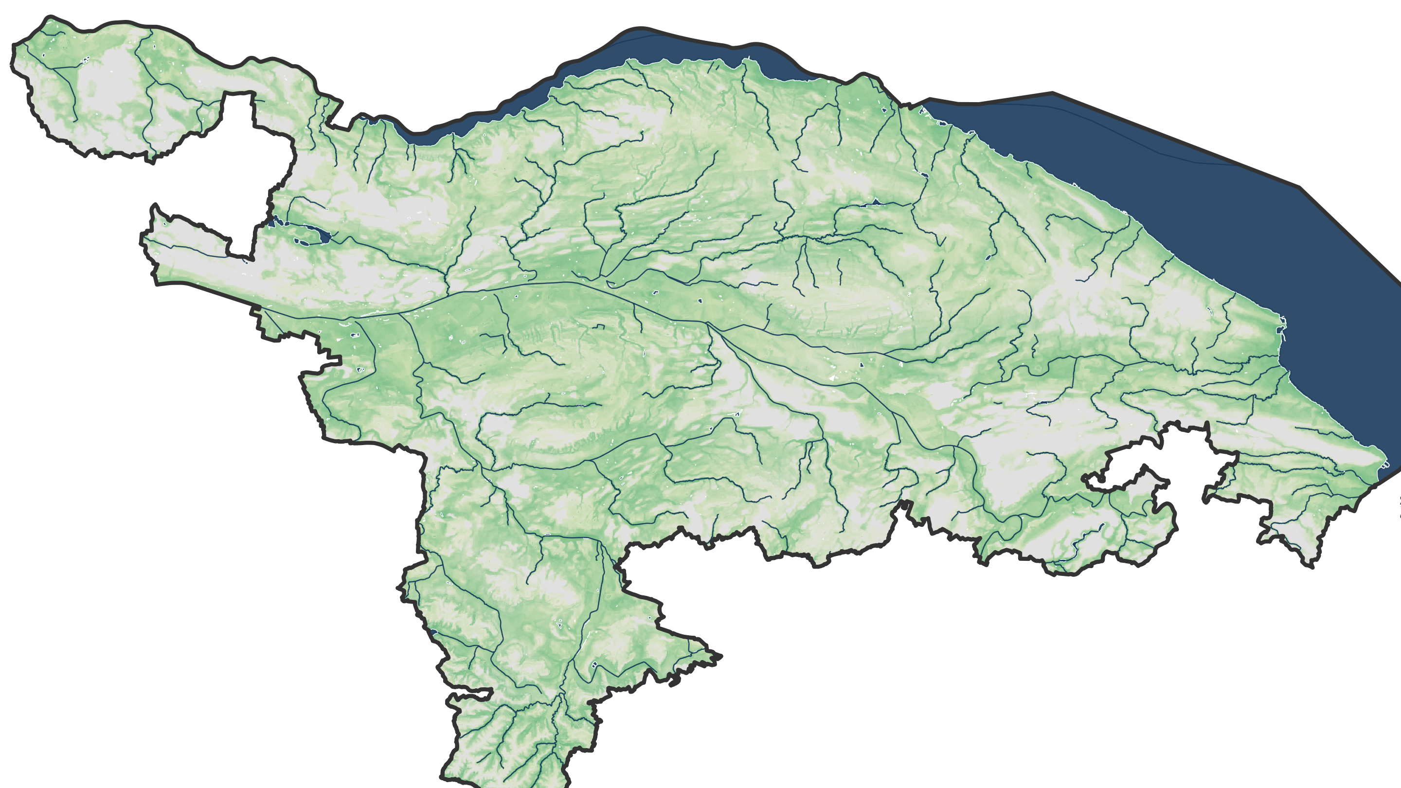
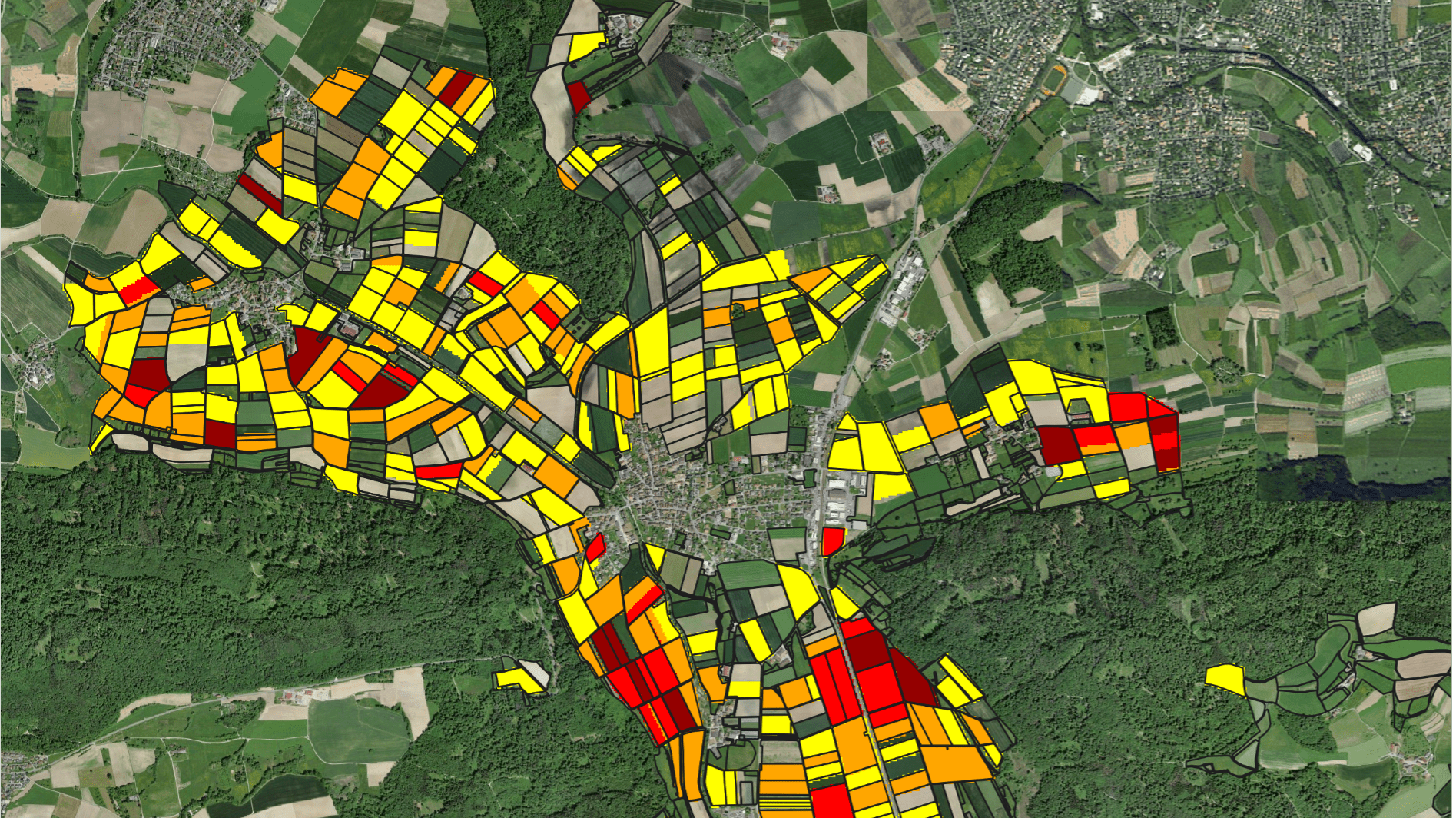
The app enables users to interactively select reservoirs in selected states of India for monitoring water storage in reservoirs, erosion and deposition patterns, crop water use in associated command areas and trends over time. In this training, participants have been introduced to the remote sensing methodologies behind the app and they have been trained to use Google Earth Engine to set up the application for their own places of interest.
The tool relies on free satellite data to track water levels, water areas, water volumes, sediment balances and crop areas at a high temporal and spatial resolution. No in-situ data except for the geo-referenced shapes of the reservoirs and command areas are needed to set up the tool. During the workshop outputs of the tool have been successfully validated using design data of reservoirs from various states of India.
The workshop was organised by the World Bank within the framework of the National Hydrology Project, which is an established a platform for water agencies in India, and was hosted by the National Institute of Hydrology (NIH) in Roorkee, Uttarakhand State, India. This training strengthened the capacity of water resources professionals and management institutions, and underscored the transformative potential of tech-enabled water management.
We are excited about the future of the ee-India-Reservoirs application and the positive impact it will have in India!


