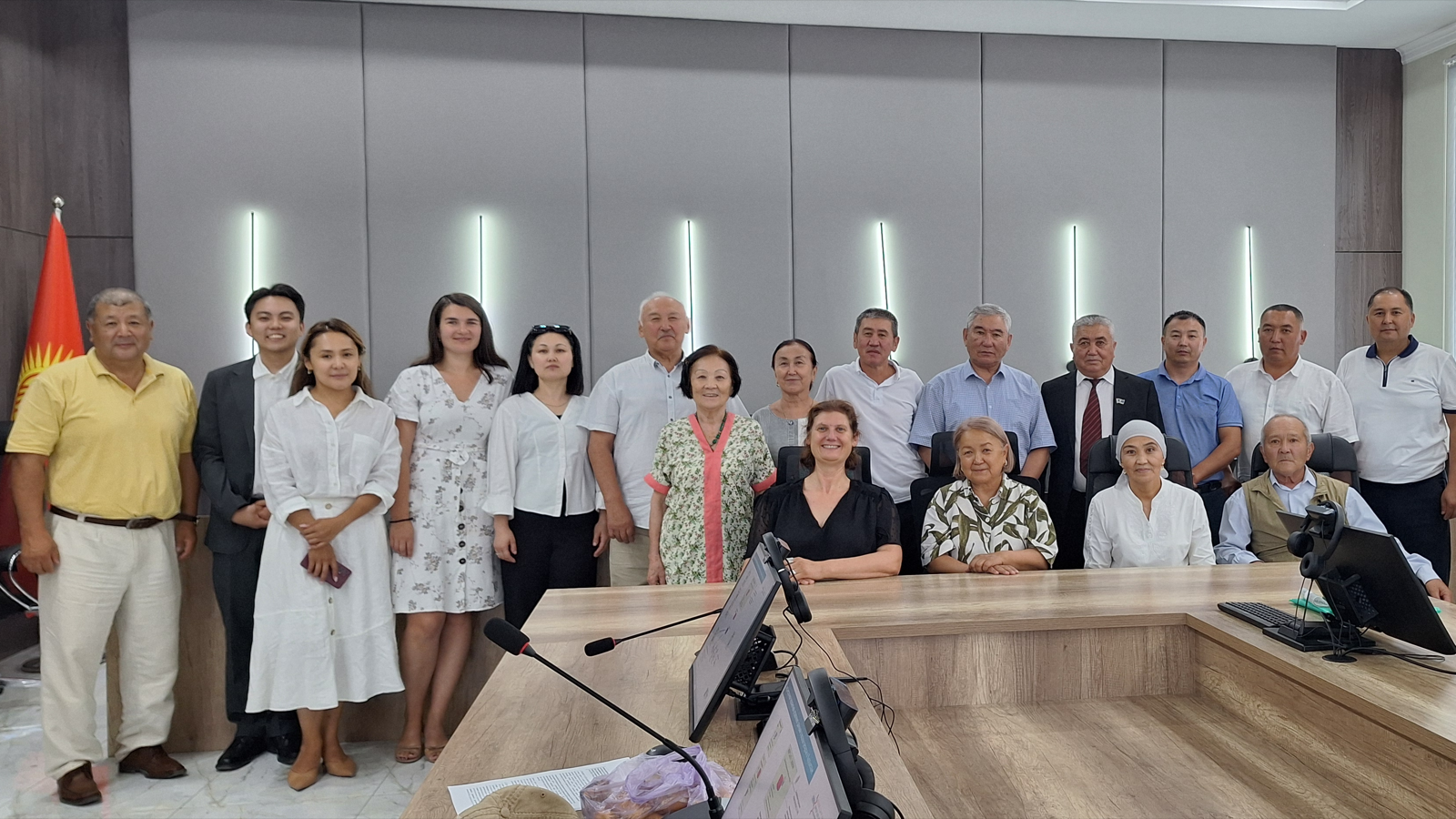
Following the official kickoff on 26 August 2026, hydrosolutions has started work on the HAIC Geospatial Platform project in Georgia. The assignment is implemented for Georgia’s Ministry of Environmental Protection and Agriculture (MEPA) in the context of the World Bank-supported Georgia Resilient Agriculture, Irrigation and Land Project (GRAIL), which aims to strengthen climate-resilient irrigation, land management, and agricultural services.
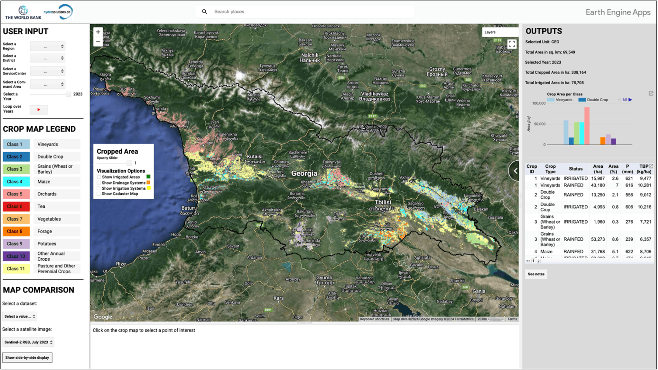
The HAIC Geospatial Platform will support the future Hydrological and Agricultural Informatics Center by turning hydro-agricultural, irrigation, and remote-sensing data into operational information for planning, monitoring, reporting, and water-management decisions. Its first operational product, HAIC I-MAP, will build on and further develop hydrosolutions’ CropMapper technology, transforming proven remote-sensing and irrigation-monitoring workflows into an operational platform with authoritative datasets, repeatable processing, professional administration tools, automated reporting, and a user portal for maps, statistics, and approved information products.
The project builds on hydrosolutions’ long-standing work in operational water-management systems in Central Asia, as well as our experience in remote sensing for agricultural monitoring and irrigation water use, including the EOSTAT CropMapper Suite and recent work on satellite-based irrigation monitoring in Switzerland. In Georgia, these strands come together in a practical geospatial platform designed to support institutional decision-making and sustainable water use.