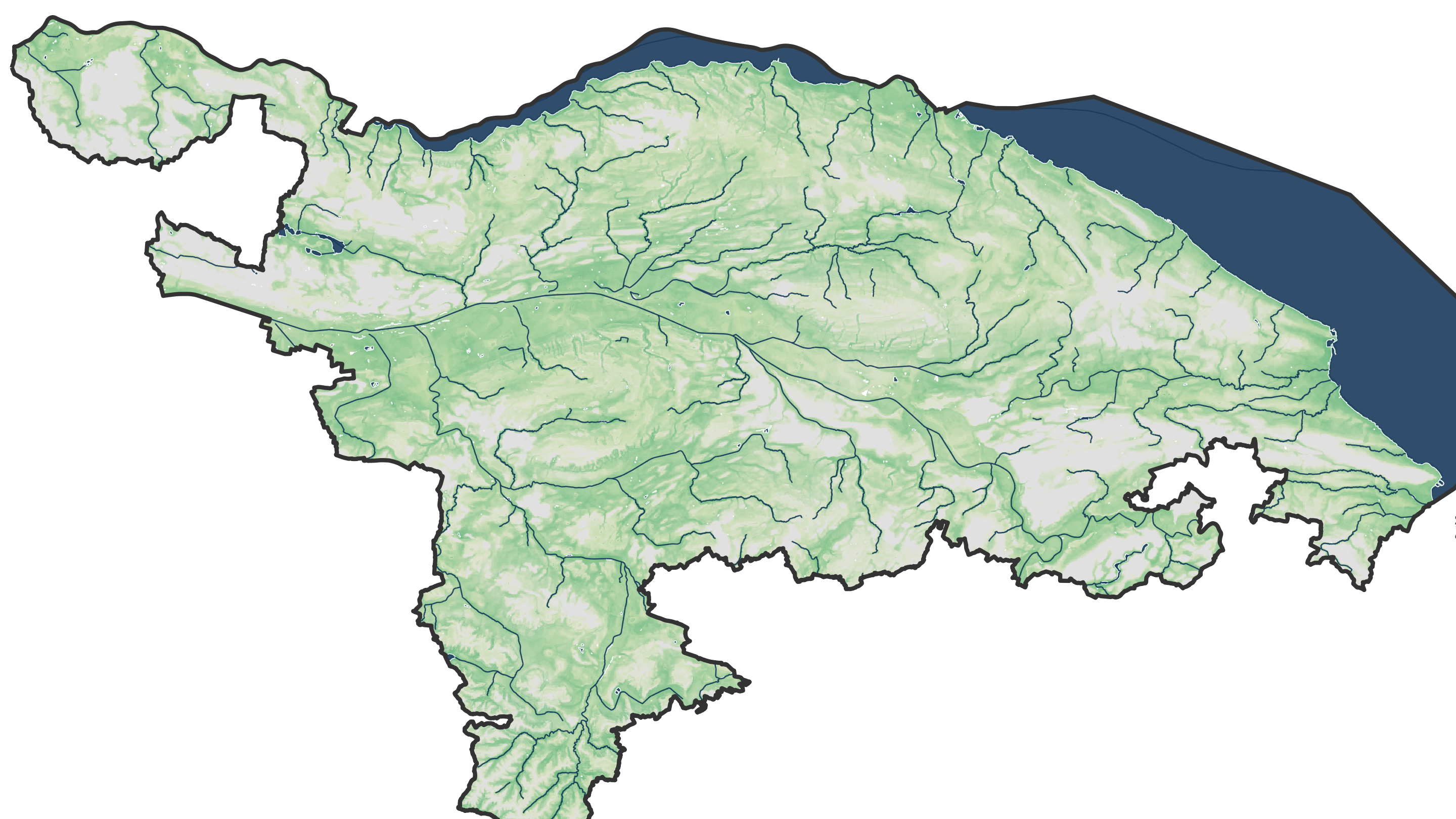
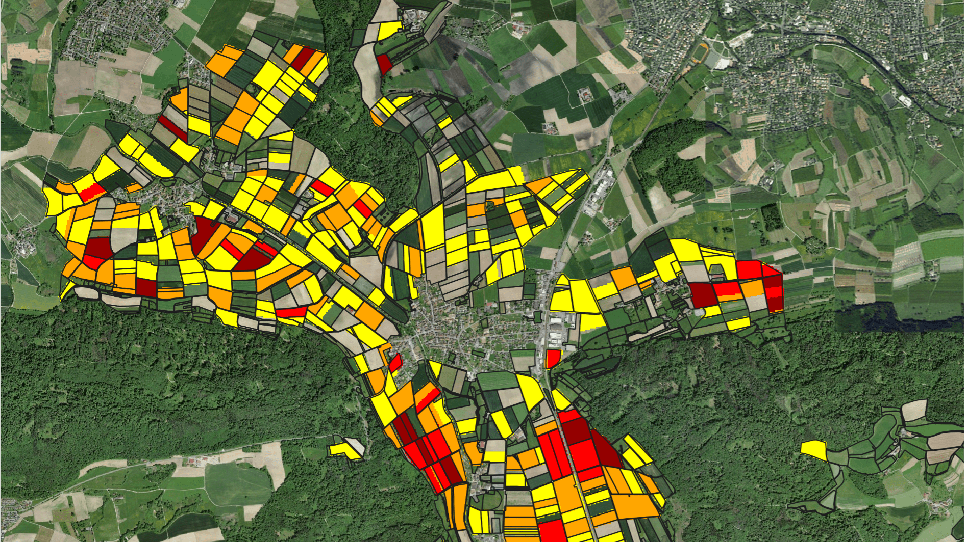
Using Google Earth Engine, we have developed a supervised learning approach for high-resolution inter-temporal mapping of irrigated areas in the Chu and Talas River Basin from 2000 through 2017. Landsat 7 data was utilized. The irrigation change intensity indicates where irrigation occurrence increased, decreased or remained invariant between 2000 and 2017. Both the direction of change (i.e. increase, decrease or no change) and its intensity can be documented. Maps such as these can be utilized for improvements of land cadasters and for the identification of land melioration conditions. Additionally, they aid in monitoring the sharing of transboundary waters between riparian states where irrigation agriculture is responsible for the bulk of consumptive water use,
High-Resolution Inter-Temporal Mapping of Irrigated Land in Central Asia
No items found.
More News
All news


