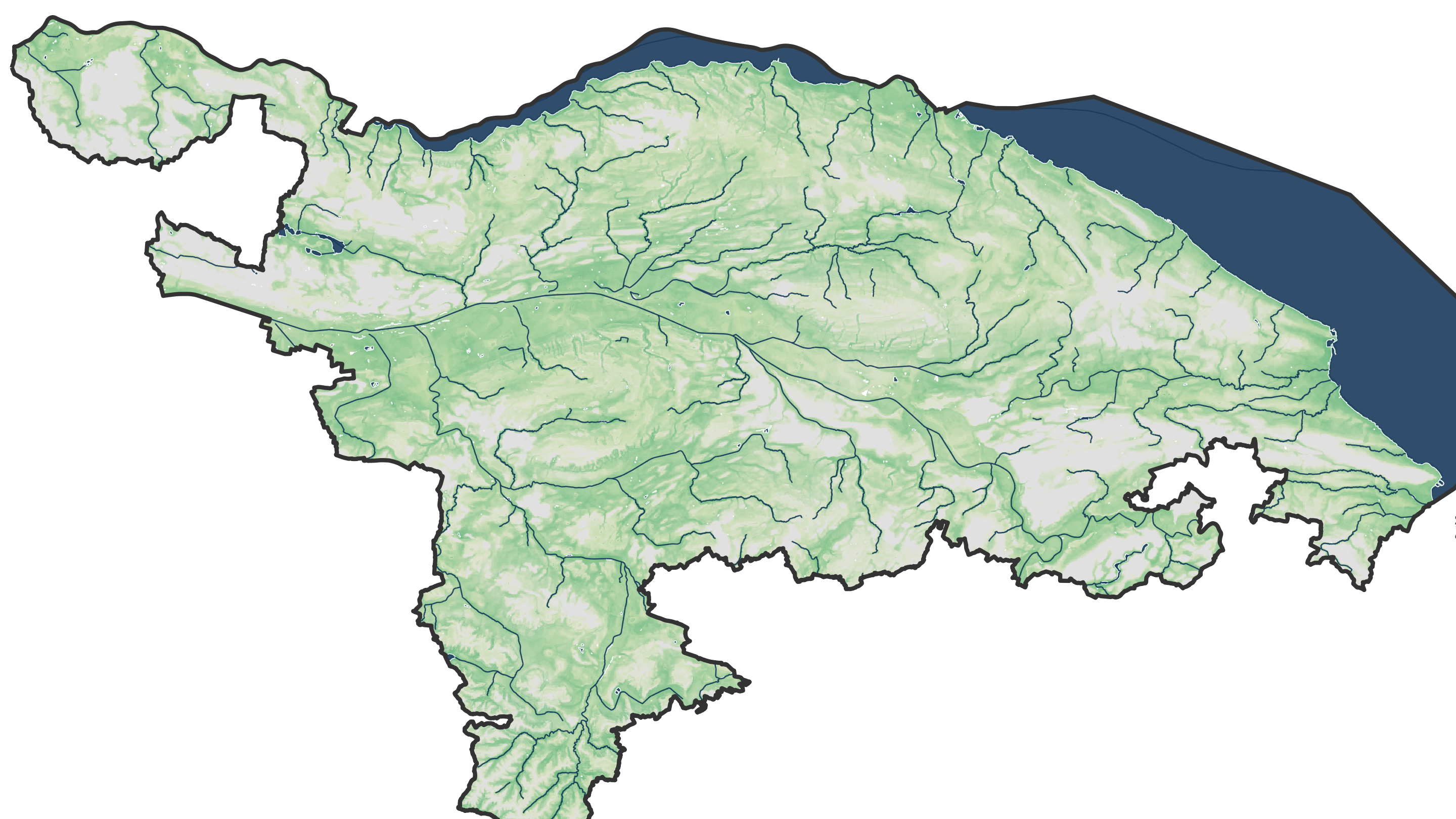
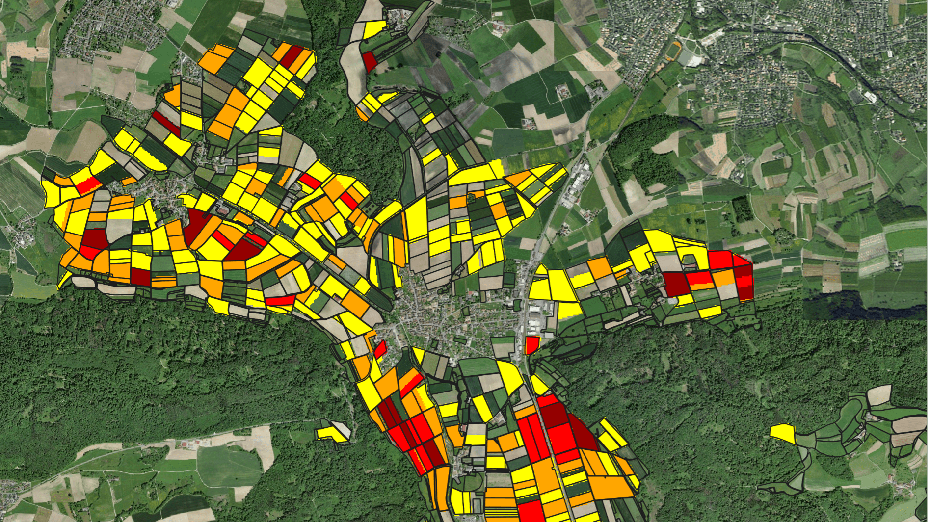
Using the Google Earth Engine platform, we have designed and implemented different applications that allow for the effective high-resolution mapping of crop types in large irrigated perimeters and oases in the global drylands. The applications can be tailored to the different needs of clients.
More information can be obtained on our company website hydrosolutions.ch.
Downloads
No items found.


